Pictures of the Sunrise Battle, October 5th
Note: click on the picture to view a larger image
|
|

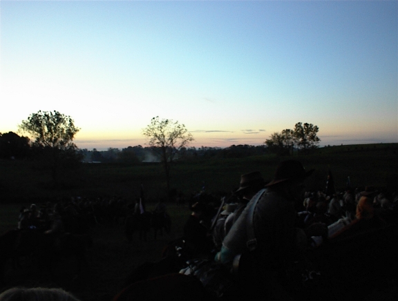
Sunrise Over the Confederate Cavalry
|

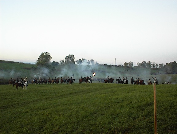
Confederate Cavalry Charge
|

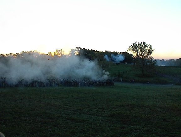
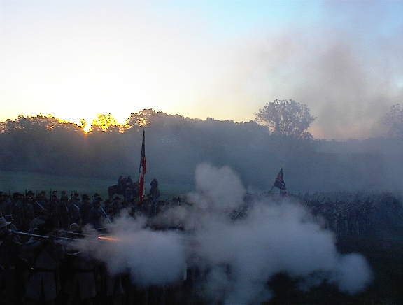
Confederate Riffle Shots
|
|

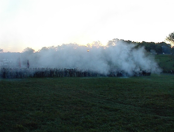
More Confederate Riffle Shots
|

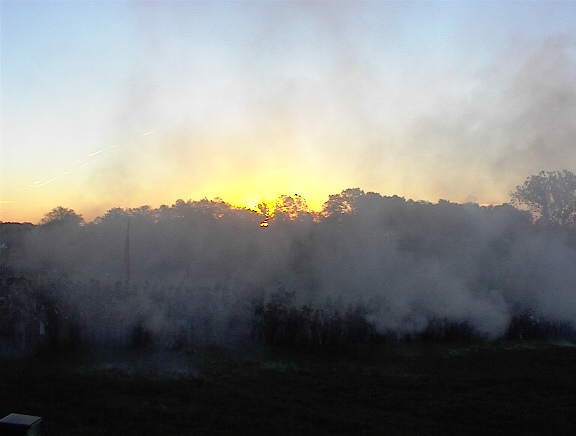
Sunrise Through the Smoke
|

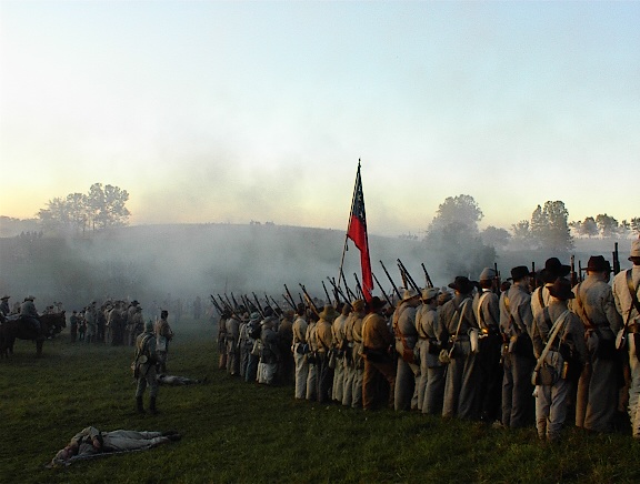
Confederate Lines Advancing
|
|

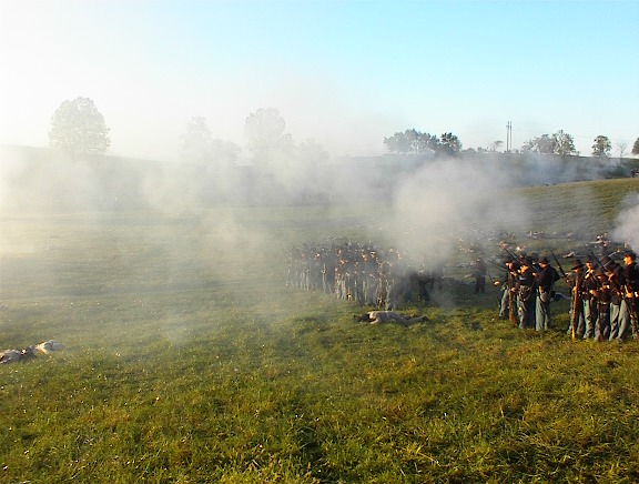
Confederate Riffle Blast
|

Union Artillery Smoke
on the Distance Hill
|

Union Lines in the Distance
|
|

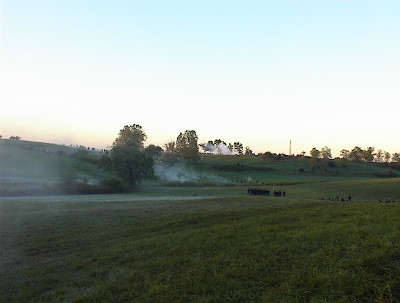
The Confederate Lines Halt
|

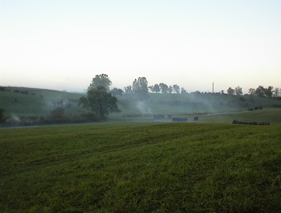
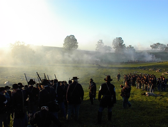
The Union Line Advances
Through the Smoke
|

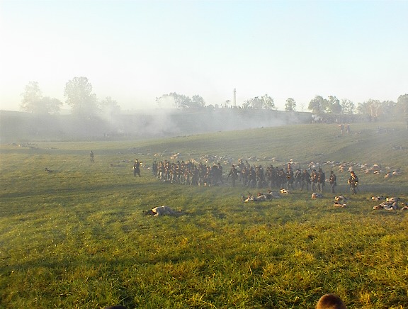
The Smokey Battlefield
Between Both Lines
|
|

The Confederate Charge
|

The Union Lines Holding
|

The Union Lines Near the End of the Battle
|
| |
|
|
Other Pictures
Note: click on the picture to view a larger image
|
|

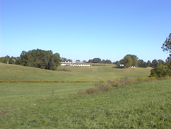
Union Camp on the Battlefield
|

Union Dress Parade in the Distance
|

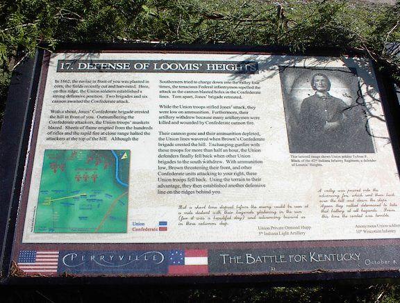
Interpretive Sign
"Defense of Loomis'
Heights"
|
|

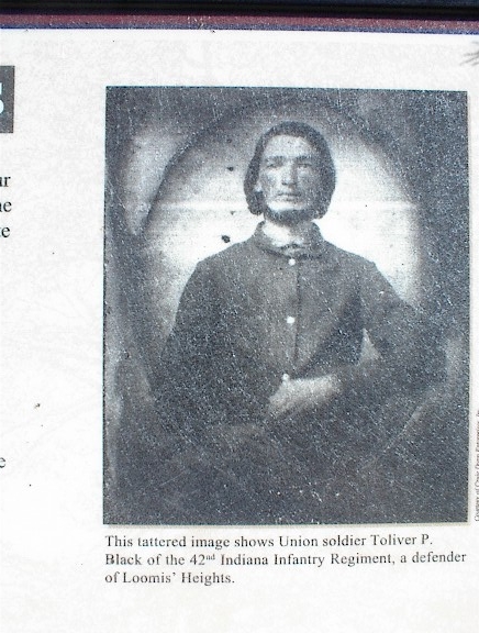
Picture of Toliver Black, Co. I
|

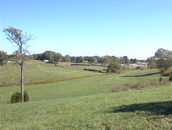
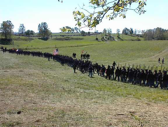
Union Brigade Marching to the Sunday
Afternoon "Sink Hole" Battle
|

Union Troops Continue Their March
|
The picture below shows where the heavily outnumbered 42nd
Indiana would have taken their last defensive stand against the two Confederate
Brigades of Celburne and Adams. The H. P. Bottom House, surrounded by a
clump of trees, is visible near the center of the picture just across the Hays
May Road (known as the Mackville Road during the time of the battle).
Doctors Creek, which is situated behind and to the far side of the Bottom House,
flows from right to left and under the Hays May Road near the left center part
of the picture. The 42nd Indiana was surprised attacked earlier in the day
while in that portion of Doctors Creek just to the left of this picture.
This picture is oriented in a south-southeast direction with the town of
Perryville barely visible in the far horizon two miles away.


